 Loading…Loading…Loading…
We value your privacy
We use cookies and ads to keep CinEvo free. You can accept or decline personalized ads.
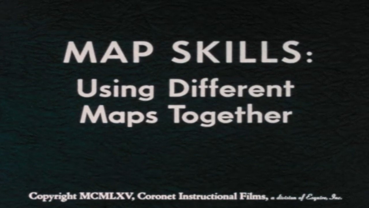
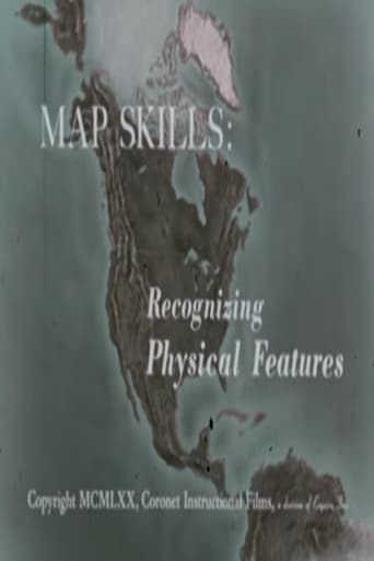
Through animation, maps of the same scale and projection are combined to show relationships between natural features of the earth, human use, and social and political features. Projects different kinds of animated maps of the same scale and explains how the maps are used in gaining an understanding of the relationships between the social, political, and natural features of the earth.
January 1, 1960
Coronet Films
2021
2011

2017

2012

2018
2008
2017
2019

2011

2016

2017

2008
2010
2003

2023

2020

2019

2019
2022
2022

1996

2009

2019

2021
2001
2002
1970
1971
1967
1950
1971
2020
1970
1989
1970

2025
1937
1937
1951
1977